Project features
Start:
End:
Oct 2021
Nov 2022
Location:
Client:
Uzbekistan
ACWA Power
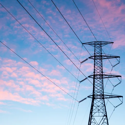
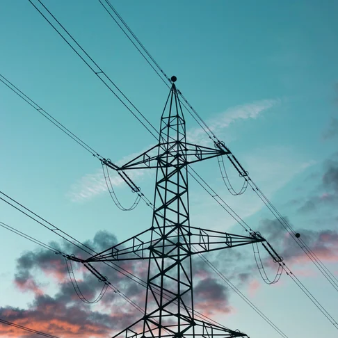
ACWA Power signed an investment agreement with the MoE to design, finance, build and operate two wind farms - Bash WPP and Dzhankeldy WPP - in the Bukhara region, Uzbekistan with a total installed capacity of ca.1,000 MW. The proposed project site of Bash WPP is located approximately 30 km west of Kokcha. The area of the land plot being considered for the WPP development spans approximately 19 km from north to south and 11 km from east to west. The proposed project site of Dzhankeldy WPP is located approximately 7 km west of Ayakguzhumdy. The Client hired Juru to conduct preliminary geotechnical investigation, topographical survey and hydrological study for the construction of 2x500 kV OHTLs that enable to evacuate power from wind farms into the grid and enhance the grid hosting capacity between the South-Western and the North-Western networks:
- ca. [162.5] km 500 kV transmission line between Karakul 500 kV substation and Bash WPP
- ca. [128.5] km 500 kV transmission line between Bash WPP and Dzhankeldy WPP
Services provided
Geotechnical Investigation
- 18 Boreholes (13 x 15 m depth and 5 x 25 m depth, total depth 320-line meters);
- Approximately 250 unit of undisturbed and disturbed samples obtained from drilling boreholes;
- 18 electrical resistivity tests at each location of borehole;
- SPT test each 1.5 m or reaching the bedrock;
- 18 double ring infiltrometer test near each borehole, to be performed according to local standard GOST 23278-2014);
- Laboratory tests for undisturbed and disturbed samples provide according to ASTM Standards;
- Preliminary geotechnical report.
Topographical survey
- Provide topographical survey with scale 1:1000 for the following OHTL corridor. Total area for two lines 5820 Ha:
- Line-1 “Bash-Karakul”: Approximately length 162.5 km and width 200 m (100 m from the centerline). In total 3250 Ha area.
- Line 2 “Bash-Dzankeldy” Approximately length 128.5 km and with 200 m (100 m from the centerline). In total 2570 Ha area.
- Provided airplane flights for aerial photography. The whole process of aerial photography was carried out on board the AN2 aircraft, where a professional wide-format aerial camera Leica DMC III is installed.
- Provide 50 cm accuracy, horizontal and 50 cm accuracy for vertical, in 1mx1m grid areas;
- Each contour lines have to be 0.25 m difference in elevation;
- The data format shall be .dxf (DXF), .dwg (AutoCAD, including roads, pipelines etc.), pdf format and in Digital Elevation Model (DEM) format;
- The survey shall be carried out with respect to UTM; system with Datum CD (Chart Datum) and MSL including local datum system.
Hydrological study
- Reconnaissance survey of Object 2 category, 291 km along the route;
- Systematization of the collected materials and data of meteorological observations. Selection of stations or posts with an assessment of the quality of observation materials and the degree of their representativeness;
- Compilation of the climatic characteristics of the survey area with the number of meteorological stations. Year stations: 40;
- Atmospheric phenomena (number of days with one atmospheric phenomenon) with the calculation of the average number of days by months and per year (fogs, blizzards, thunderstorms, hail, dust storms);
- Collection and analysis of materials of hydrological study of the object;
- Rain runoff modelling for determination of gietograms and design flood hydrographs;
- Determination of the calculated hydrological characteristics by the hydraulic method;
- Determination of flood lines using a hydraulic model;
- Based on recorded rainfall data, calculation of return periods for 1, 2, 5, 10, 20, 50 and 100 years;
- Determination of design characteristics by the method "collection of precipitation data with constant intensity";
- Description and definition of flood risk based on flood hazards (based on flood lines) and vulnerabilities (location of proposed critical civil, mechanical and electrical infrastructure, power plants, residential buildings, offices and solar installations);
- Flood Simulation for Selected Design Floods or Runoff Discharges;
- Prepare a final report on engineering and hydrometeorological notes.